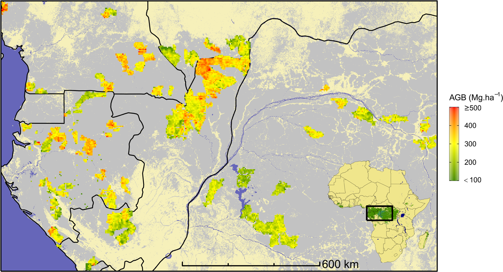
Fig. 1
From: A map of African humid tropical forest aboveground biomass derived from management inventories

Overview of the study area in central Africa and field data distribution. Reference forest AGB estimates derived from field inventories, aggregated into 5-km pixels (for visual purpose), are depicted in a green-to-red color gradient and underlaid by the spatial distribution of moist forests21 (grey) and countries borders (black).
